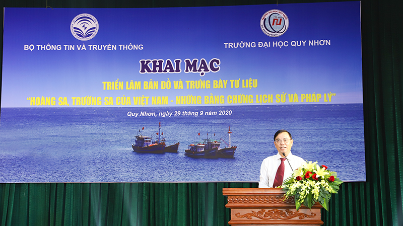
On September 29, the Ministry of Information and Communication cooperated with Quy Nhon University (QNU) in organizing an exhibition of maps and a display of documentary materials on " Hoang Sa and Truong Sa belonging to Vietnam - Historical and Legal Evidence". This was a political activity conducted to propagate Vietnam's sovereignty over the two archipelagos of Hoang Sa and Truong Sa through documents, maps, images and objects, which affirmed Vietnam’s righteous stance, enhancing the spirit of solidarity, the sense of responsibility of the Vietnamese people, especially the youth, students and university students in the work of protecting Vietname’s maritime sovereignty.
Attending the opening ceremony were Mr. Hoang Minh Phuong, Deputy Head of the Grassroots Information Department under the Ministry of Information and Communication, Assoc.Prof.Dr. Nguyen Chu Hoi, Senior Lecturer at Hanoi National University, Vice President of the Vietnam Fisheries Association, former Deputy Director of the Vietnam Administration of Sea and Islands, Mr. Pham Ngoc Thai, Deputy Director of the Department of Information and Communications of Binh Dinh Province. The participants from QNU at the ceremony included Assoc.Prof.Dr. Nguyen Dinh Hien, Vice Rector, leaders of some units, the Student Union, the Veterans Association, and a lot of lecturers and students of some of the Departments.
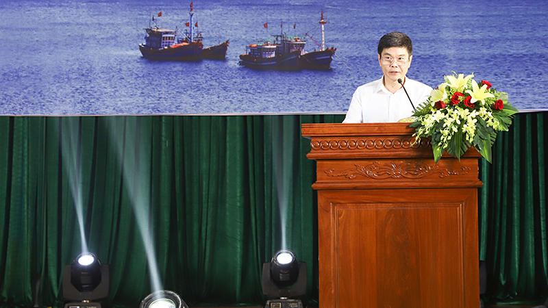
Mr. Hoang Minh Phuong, Deputy Head of the Grassroots Information Department
(Photo taken by Cam Tien)
Speaking at the opening ceremony, Mr. Hoang Minh Phuong, Deputy Head of Department of Grassroots Information under the Ministry of Information and Communication said “Our previous generations have worked hard to establish, enforce and protect the sovereignty of waters and islands of the Fatherland, especially the two archipelagos of Truong Sa and Hoang Sa. The introduction and dissemination of documents and legal evidence affirming Vietnam's sovereignty over the two archipelagos of Hoang Sa and Truong Sa and the display of maps are important propagation activities conducted to raise awareness of the sense of responsibility for the protection of the Fatherland among QNU’s lectirers and students.
Assoc.Prof.Dr. Nguyen Dinh Hien, Vice Rector of QNU (Photo taken by Cam Tien)
On behalf of QNU, Assoc.Prof.Dr. Nguyen Dinh Hien said that the exhibition of maps and the display of documentary materials on "Hoang Sa, Truong Sa belonging to Vietnam - Legal historical evidence" was an activity of great significance to QNU. The assertion of Vietnam's sovereignty over the two archipelagos of Hoang Sa and Truong Sa always receives the attention and care of QNU’s staff, lecturers and students. And in the coming time, QNU would try to integrate these materials in its teaching activities.
At the opening ceremony, Assoc.Prof.Dr Nguyen Chu Hoi provided QNU’s staff, lecturers and students with information and visual images about Vietnam's sovereignty over the two archipelagos of Hoang Sa and Truong Sa.
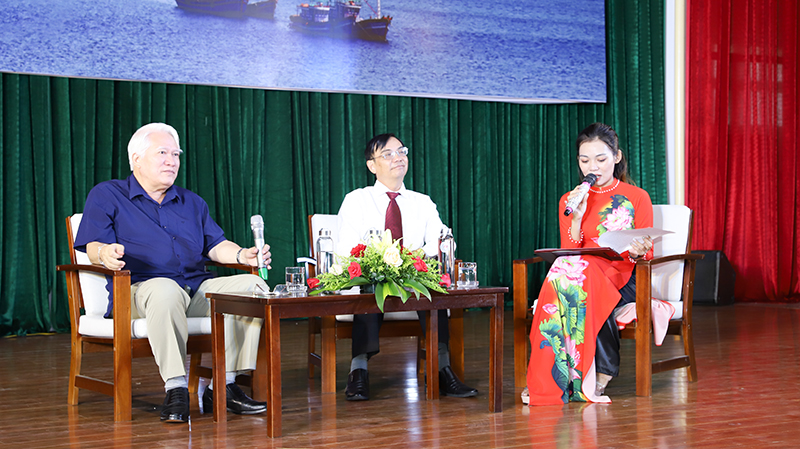
Assoc.Prof.Dr. Nguyen Chu Hoi and Assoc.Prof.Dr. Nguyen Dinh Hien participate in the Q&A (Photo by Cam Tien)
The exhibition consisted of main groups of documents: The drawing set "History of Vietnam", summarizing the process of forming, building, developing and defending Vietnam's sovereignty over the periods, from the Kinh Duong Vuong period to to the time of the Socialist Republic of Vietnam. The written documents of the Vietnamese feudal dynasties, including ancient documents and bibliographies, clearly showed that the Vietnamese feudal dynasties regularly organized activities to explore, explore, and corpses. to establish sovereignty over the two archipelagos of Hoang Sa and Truong Sa. In particular, the European tribes of the Nguyen Dynasty, dating from the Minh Mang Dynasty (1820-1841) to the Bao Dai Dynasty (1926-1945), reflected the continuous establishment and protection of sovereignty under the Nguyen Dynasty. The maps and atlases related Vietnam's sovereignty over the two archipelagos of Hoang Sa and Truong Sa.
Especially, the Atlas Universel series compiled by Philippe Vandermaelen (1795 - 1869), a Belgian geologist, founder of the Royal Belgian Geographic Institute. This was an invaluable document, not only academically, but also a valuable document contributing to the dossier proving Vietnam's sovereignty over the Paracel Islands and was a valuable document used in the work of propagation of Vietnam’ maritime sovereignty both at home and abroad. The documents on Hoang Sa, Truong Sa during the French colonial period and the Republic of Vietnam; a number of documents, artifacts and images related to the struggle to protect sovereignty over sea and islands in recent years. Images and documents of "Hoang Sa, Truong Sa in the heart of Vietnam and international friends" and artifacts and images about the exercise of sovereignty and struggle "To protect sovereignty of Hoang Sa, Truong Sa ".
At the exhibition, there were also 3D exhibitions and information technology experiences on tablets. Digital Exhibition Software "Hoang Sa, Truong Sa belonging to Vietnam - Historical and Legal Evidence" was developed on the basis of 3D virtual reality technology by digitizing a number of documents with legal validity such as: bibliography, continental map, ancient maps of Vietnam; maps of Western countries; Chinese maps, etc., integrated and digitized in the form of audio, text on the 3D virtual reality technology platform, allowing viewers to freely travel and explore material materials in the air. virtual space, etc. At the exhibition, postage stamps together to protect the sovereignty and sustainable development of Vietnam's sea and islands were also displayed, including pictures of stamps talking about sovereignty over sea and islands; on Vietnam's marine economic development through the typical painting language of postage stamps, thereby asserting Vietnam's sovereignty, sovereignty rights and jurisdiction over Vietnam's archipelago including two archipelagos of Hoang Sa and Truong Sa.
The documentary materials, maps, images and objects affirm Vietnam's righteous stance, enhance the spirit of solidarity and the sense of responsibility of the Vietnames people, especially the youth, teenagers, students and university students in the work of protecting the sovereignty of waters and islands of the country. This helps ensure that the university's staff, lecturers and students are fully disseminated and fully grasp the Party's policies and lines, the State's policies and laws on the sea and islands of Vietnam. At the end of the exhibition, the Ministry of Information and Communications transfered all the materials and exhibits displayed at the exhibition to QNU for further communication and dissemination to its staff, lecturers and students.
Some photos of the exhibition:
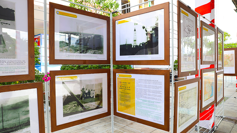
Documentary materials and images (Photo by Cam Tien)
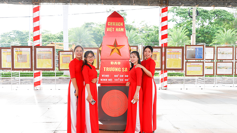
Souvenir photo of female students of QNU at the exhibition (Photo by Cam Tien)
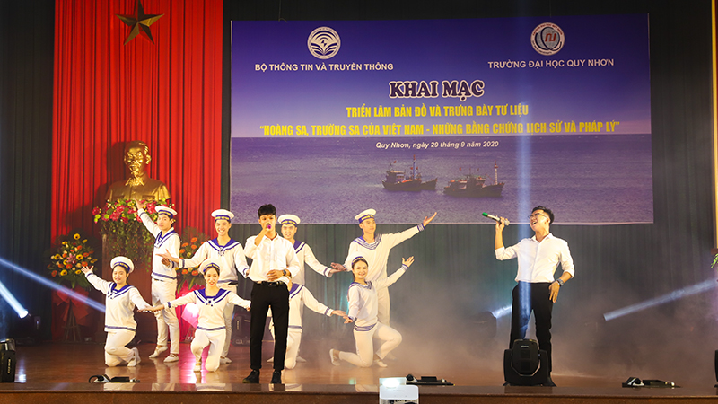
Art performance (Photo by Cam Tien)
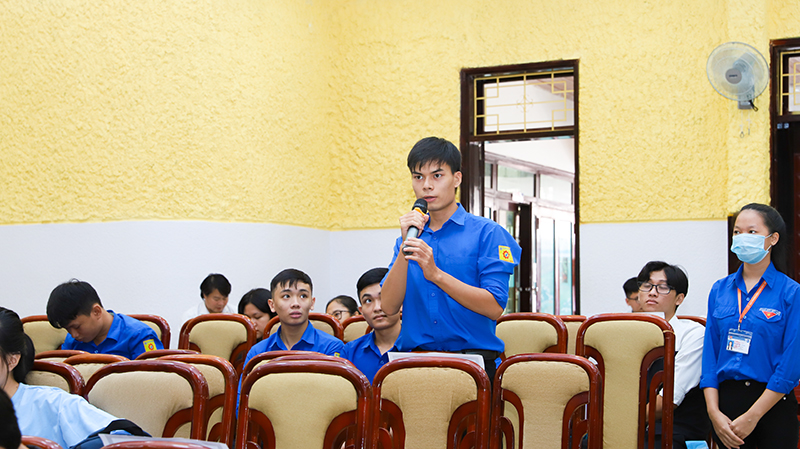
Students at the Q&A (Photo by Cam Tien)
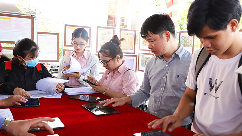
Students experience the application of information technology on tablets
(Photo by Cam Tien)
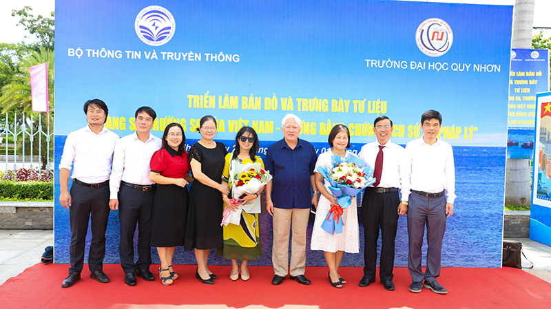
Souvenir photo of the participants (Photo by Cam Tien)
Cam Tien